↓
Farmer-developed technology, Drone mapping & Spot spraying at Scale.
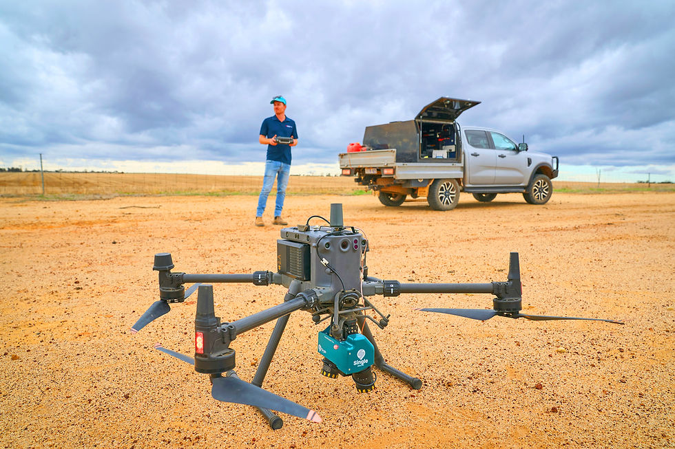


■ WeedMapper System
The WeedMapper system can cover up to 300 hectares per hour, with weed maps generally generated within 24 hours. This gives growers a fast, practical way to make informed spray decisions, reduce unnecessary chemical use by turning your existing machine into a spot sprayer. Growers interested in purchasing their own WeedMapper system can also speak with WDS for local advice, support, and supply options.
Smarter weed control through local expertise & farmer-developed technology.
↓
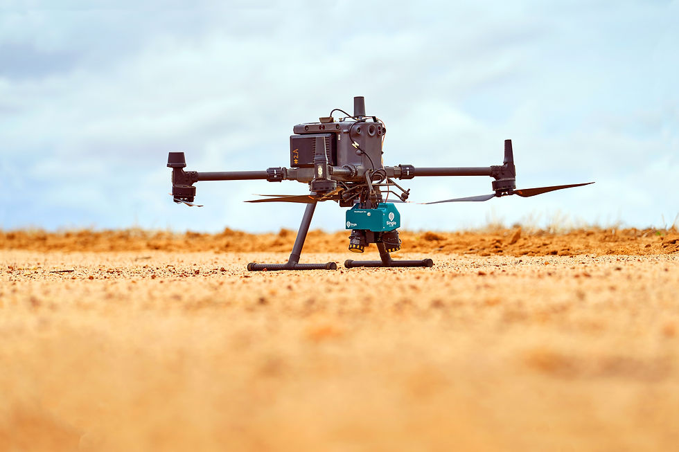
■ Partnership
Wheatbelt Drone Services is proud to work in partnership with Single Agriculture.
Single Agriculture is a company founded by farmers who have developed practical drone-based weed mapping technology for real agricultural conditions. Using their WeedMapper system, WDS can deliver accurate green-on-brown weed mapping, plant density counts, and prescription maps for growers across the WA Wheatbelt. WDS has a close relationship with Single agriculture, working together to improve and develop the technology.